Geomorphological Mapping: an under-used tool
Geomorphological mapping is an under-used and under-valued engineering geology tool.
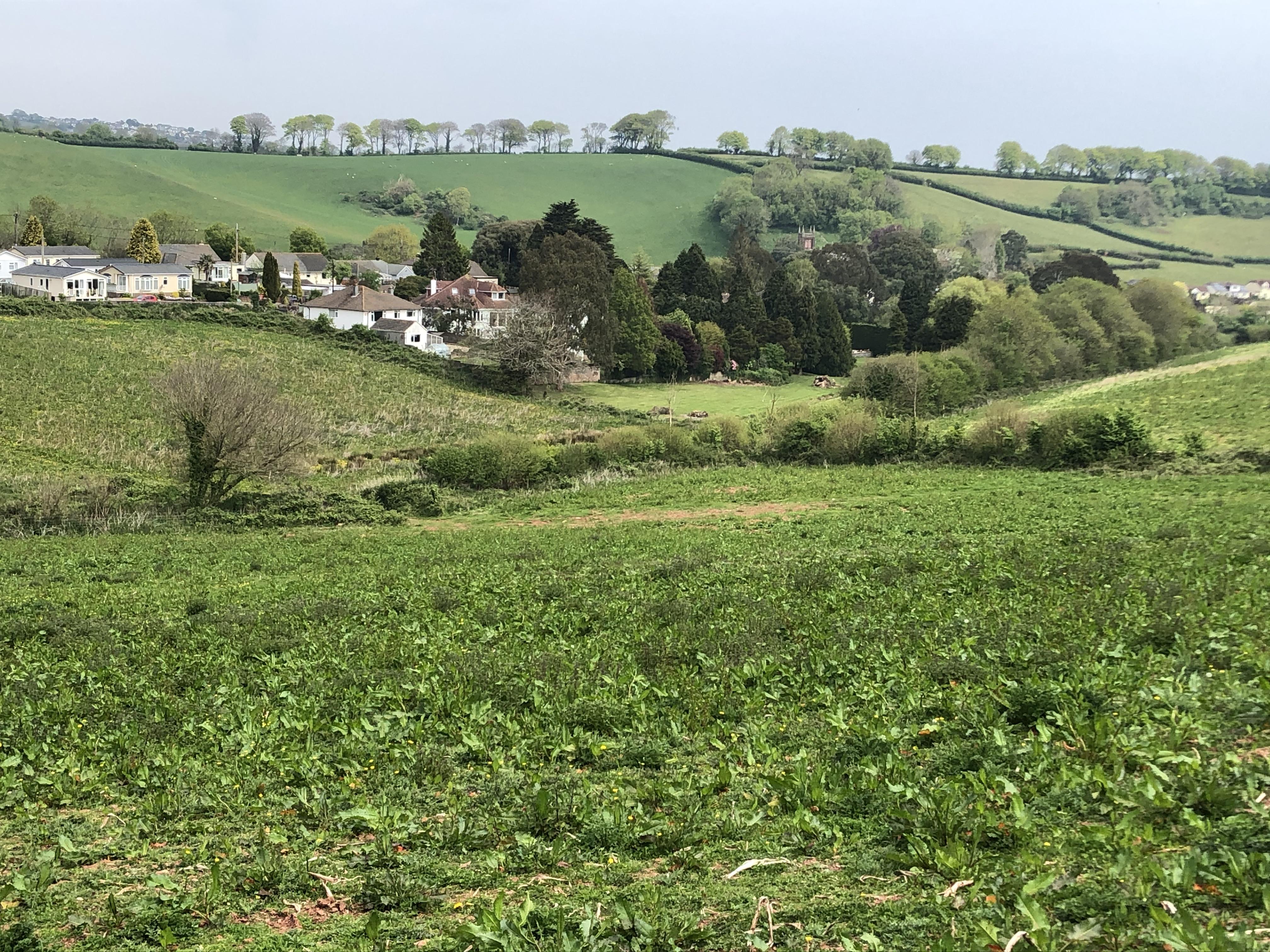
At this particularly site, a large greenfield site proposed for residential development, it helped make sense of variable trial pit and borehole logs due to changes in geology and faulting.
Someone once told us that he thought 95% of the ground conditions could be inferred from the surface by a good geomorphologist. We think he was right!